Development Lines
Growth Opportunities
- Analysis of the territory and its interactions
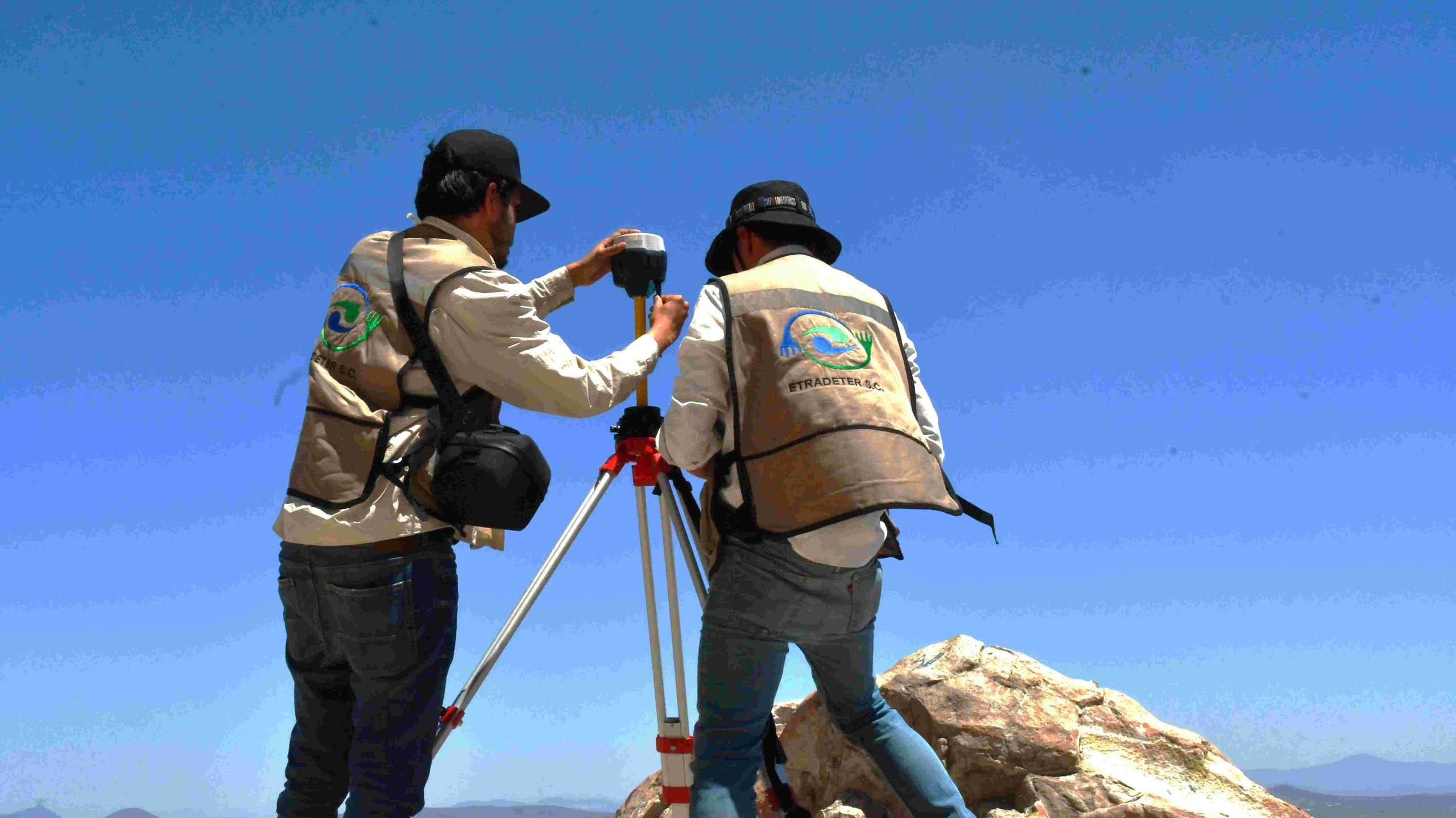
- Satellite positioning using GNSS technology
- Aerial surveys using drones with RTK technology
- Digital photogrammetry applied to cadastre
- Processing and adjustment of geospatial information
- Preparation of cadastral maps
- Use of Geographic Information Systems (GIS) in territorial studies
- Integration of topographic information in AutoCAD and Civil 3D
- Quality control, accuracy and applicable regulations
- Applications of topographic surveying in land regularization
- Natural risk management
- Topographic surveying and mapping for land regularization allow the generation of high-precision geospatial information through the use of GNSS receivers and drones with RTK technology, facilitating the delimitation of properties, the determination of boundaries, the calculation of areas, the updating of cadastres and the preparation of topographic plans and thematic cartography.
- Likewise, these works constitute a fundamental tool for the processes of regularizing land tenure, territorial planning, urban planning, the design and execution of infrastructure projects, as well as for decision-making based on reliable, up-to-date and georeferenced information.